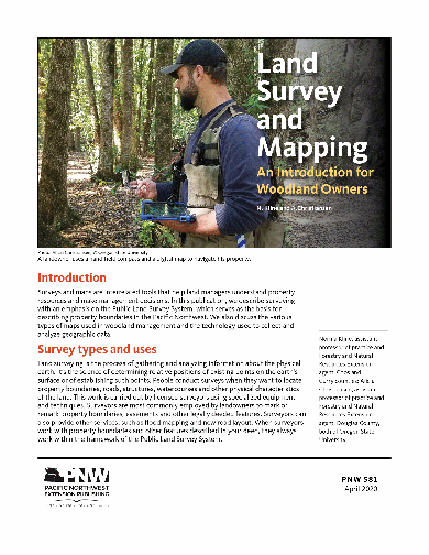
Land Survey and Mapping: An Introduction for Woodland Owners
Discusses types of plane surveys, including property surveys and cadastral surveys. Briefly sketches the history of the rectangular survey system in the United States and describes how the rectangular system works. Tells how to use certain types of maps, such as transportation maps and topographic maps, to locate on-the-ground features. Also discusses using aerial photos. Briefly defines geographic information systems (GIS) and global positioning systems (GPS).
Page Count: 15
Revised: April 2020
Reviewed: April 2021
Hurry! Only left in stock.
Related publications
-

Pacific Poison- oak and Poison-ivy: Identification and Management
How to identify and control Pacific poison-oak and western poison-ivy, and how to prevent exposure to the plants’ oily substance, Urushiol, which can cause and allergic contact dermatitis. ...
- Revised:
- November 2022
- SKU:
- PNW108
-

Environmental Injury: Frost Cracks (Home Garden Series)
Trees can suffer all kinds of injury, including damage caused by the environment. Frost cracks are one type of environmental injury that appear to occur after very severe cold winter weather. This pub ...
- Published:
- March 2016
- SKU:
- FS199E
Authors: -

Reducing Fire Risk on Your Forest Property
The degree of wildfire risk depends on both the probability of an ignition and the potential for loss of trees, homes, and even lives. Whether you own a few acres or thousands, this publication will…
- Published:
- October 2010
- Reviewed:
- October 2018
- SKU:
- PNW618
Authors:Price: $12.00 -

Wildlife Ecology and Forest Habitat
Discusses how to manage habitat for deer, elk, bear, birds, cougar, lynx, bobcat, wolf, coyote, fox, and small mammals.
Authors:Price: $2.20