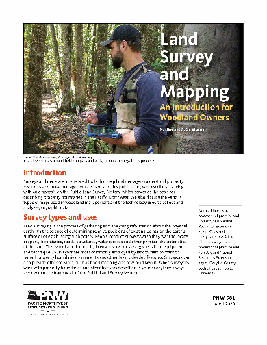
Land Survey and Mapping: An Introduction for Woodland Owners
Discusses types of plane surveys, including property surveys and cadastral surveys. Briefly sketches the history of the rectangular survey system in the United States and describes how the rectangular system works. Tells how to use certain types of maps, such as transportation maps and topographic maps, to locate on-the-ground features. Also discusses using aerial photos. Briefly defines geographic information systems (GIS) and global positioning systems (GPS).
Page Count: 15
Revised: April 2020
Reviewed: April 2021
Hurry! Only left in stock.
somdn_product_pageRelated publications
-
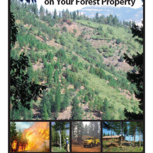
Reducing Fire Risk on Your Forest Property
The degree of wildfire risk depends on both the probability of an ignition and the potential for loss of trees, homes, and even lives. Whether you own a few acres or thousands, this publication will…
- Published:
- October 2010
- Reviewed:
- October 2018
- SKU:
- PNW618
Authors:Price: $12.00 -

Enhancing Reforestation Success in the Inland Northwest
Vegetation control techniques to improve conifer seedling survival and growth are described and compared for common area-specific forest competitors. Mechanical methods (such as tilling and mowing) ...
- Revised:
- January 2020
- Reviewed:
- January 2023
- SKU:
- PNW520
Authors:somdn_product_page -

Wildlife Ecology and Forest Habitat
Discusses how to manage habitat for deer, elk, bear, birds, cougar, lynx, bobcat, wolf, coyote, fox, and small mammals.
Authors:Price: $2.20 -

Nutrient Management for Pastures: Western Oregon and Western Washington
Describes nutrient management practices for pastures to produce forage as a main feed source for western Oregon and Washington livestock.
- Published:
- January 2019
- Reviewed:
- January 2023
- SKU:
- EM9224
Authors:somdn_product_page