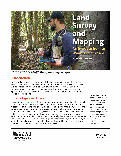
Land Survey and Mapping: An Introduction for Woodland Owners
Discusses types of plane surveys, including property surveys and cadastral surveys. Briefly sketches the history of the rectangular survey system in the United States and describes how the rectangular system works. Tells how to use certain types of maps, such as transportation maps and topographic maps, to locate on-the-ground features. Also discusses using aerial photos. Briefly defines geographic information systems (GIS) and global positioning systems (GPS).
Page Count: 15
Revised: April 2020
Reviewed: April 2021
Hurry! Only left in stock.
Related publications
-
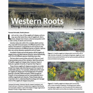
Western Roots: Diving into a sagebrush sea of diversity
Abstract: What may appear at first glance as a sea of sagebrush is in reality a complex and diverse ecosystem with a wide variety of plants and animals. The sagebrush steppe teems with life, but…
- Published:
- August 2018
- Reviewed:
- January 2023
- SKU:
- PNW714
Authors: -
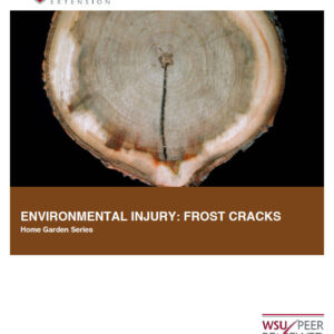
Environmental Injury: Frost Cracks (Home Garden Series)
Trees can suffer all kinds of injury, including damage caused by the environment. Frost cracks are one type of environmental injury that appear to occur after very severe cold winter weather. This pub ...
- Published:
- March 2016
- SKU:
- FS199E
Authors: -

Nutrient Management for Pastures: Western Oregon and Western Washington
Describes nutrient management practices for pastures to produce forage as a main feed source for western Oregon and Washington livestock.
- Published:
- January 2019
- Reviewed:
- January 2023
- SKU:
- EM9224
Authors: -
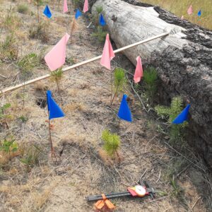
Woody Debris Microsites Enhance Conifer Seedling Survival During Extreme Summer Heat
Fallen dead wood has often been considered a nuisance and a fire hazard, but many now recognize its ecological value for wildlife habitat, nutrient cycling, and moisture retention. Learn about the “microsite effect” and how…
- Published:
- May 2026
- SKU:
- TB112E
Authors: